Directions:
1.  On on Highway 99, at the south side of Fresno, you will see an exit labeled “Kings Canyon Highway” – Highway 180.
2. Take that exit “East” and stay on Highway 180 until you get to the park entrance (entrance, and one night’s camping, will be free for clean up volunteers.. just let them know as you pass through the gate).
On the way you may pass through the little community of ‘Centerville’ (as of 2018 a bypass is being built) and see a ‘wooden Indian’ standing on the porch pole entering a store on the left. This is where you can buy flies, lures, crickets and night crawlers… for fishing with in the river.
3. Next you will turn left at the Blossom Trail Fruit Stand (Roy at 559-787-3015). We always try their taste tests to determine which locally grown fresh fruit we prefer (fresh peaches, plums, nectarines…).
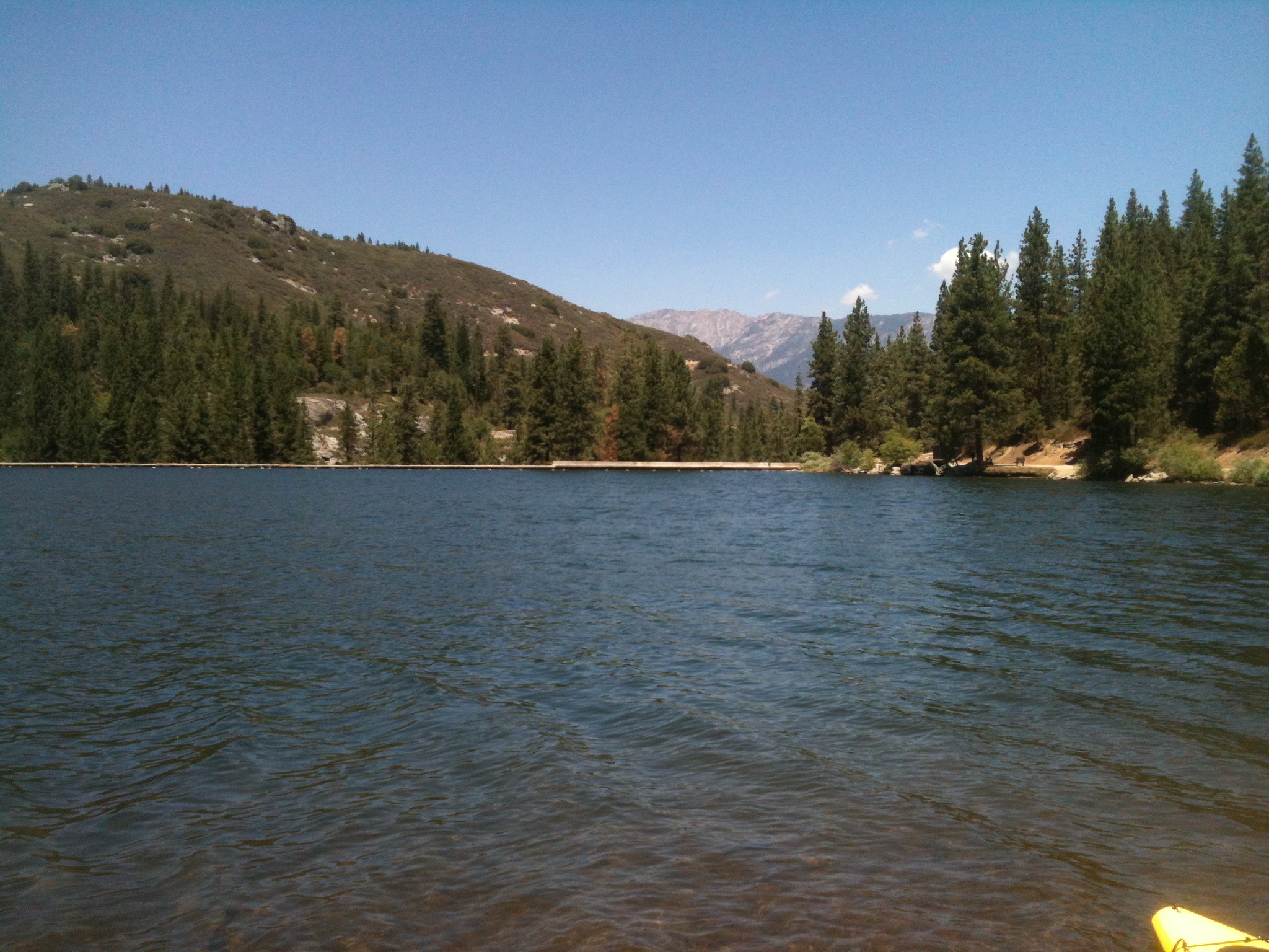
4. Continue east up the west side of the Sierra Nevada’s through Squaw Valley to the Sequoia National Forest and then the Park Entrance that is now staffed by both NPS and USFS staff as part of the Sequoia National Monument joint venture.
5. After you go through the entrance you will pass a day use area on the left and they you will come to a fork in the road. As Yogi Berra (former Yankees Manager) used to say “When you come to a fork in the road, Take it!” In this case you will want to take the LEFT fork and head through Grant Grove. You may want to leave early enough coming in, or returning, to go through the General Grant Tree’s paved hiking trail to take photos of all of the HUGE Sierra Redwood Trees!
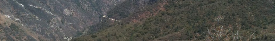
6. From Grant Grove, continue on Highway 180 to Kings Canyon, plan to stop frequently at turnouts and take in the beautiful views of the canyon.
You will soon leave Kings Canyon National Park, and enter Sequoia National Forest. The National Park Service manages lands as ‘preserves’ and the Forest Service lands are managed for ‘Wise Use.’
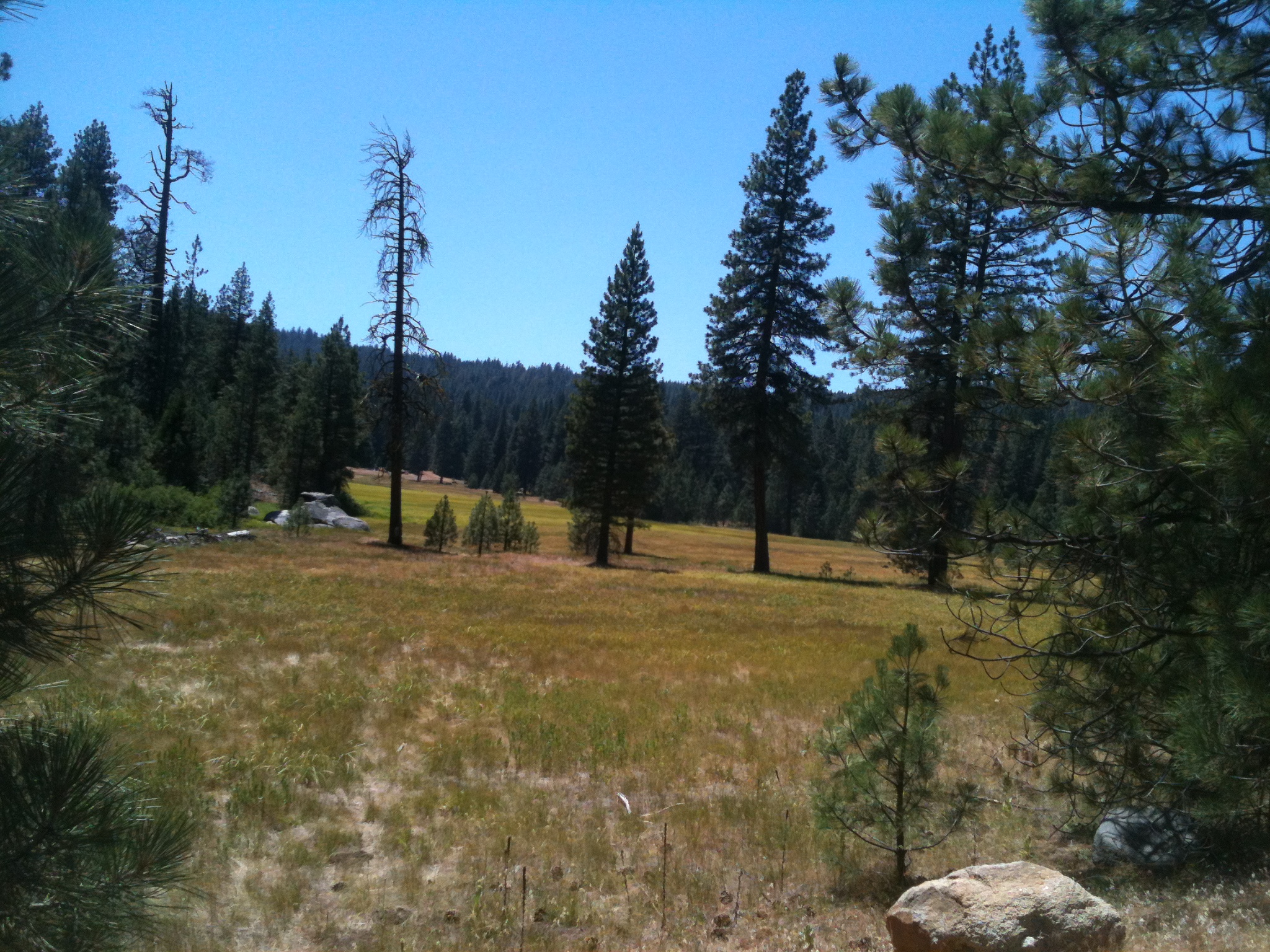
You will drop out of the Redwood and forested area shortly after you pass the turnout to Hume Lake just past “Princess Meadow” but don’t take that turn, keep heading east to Kings Canyon.
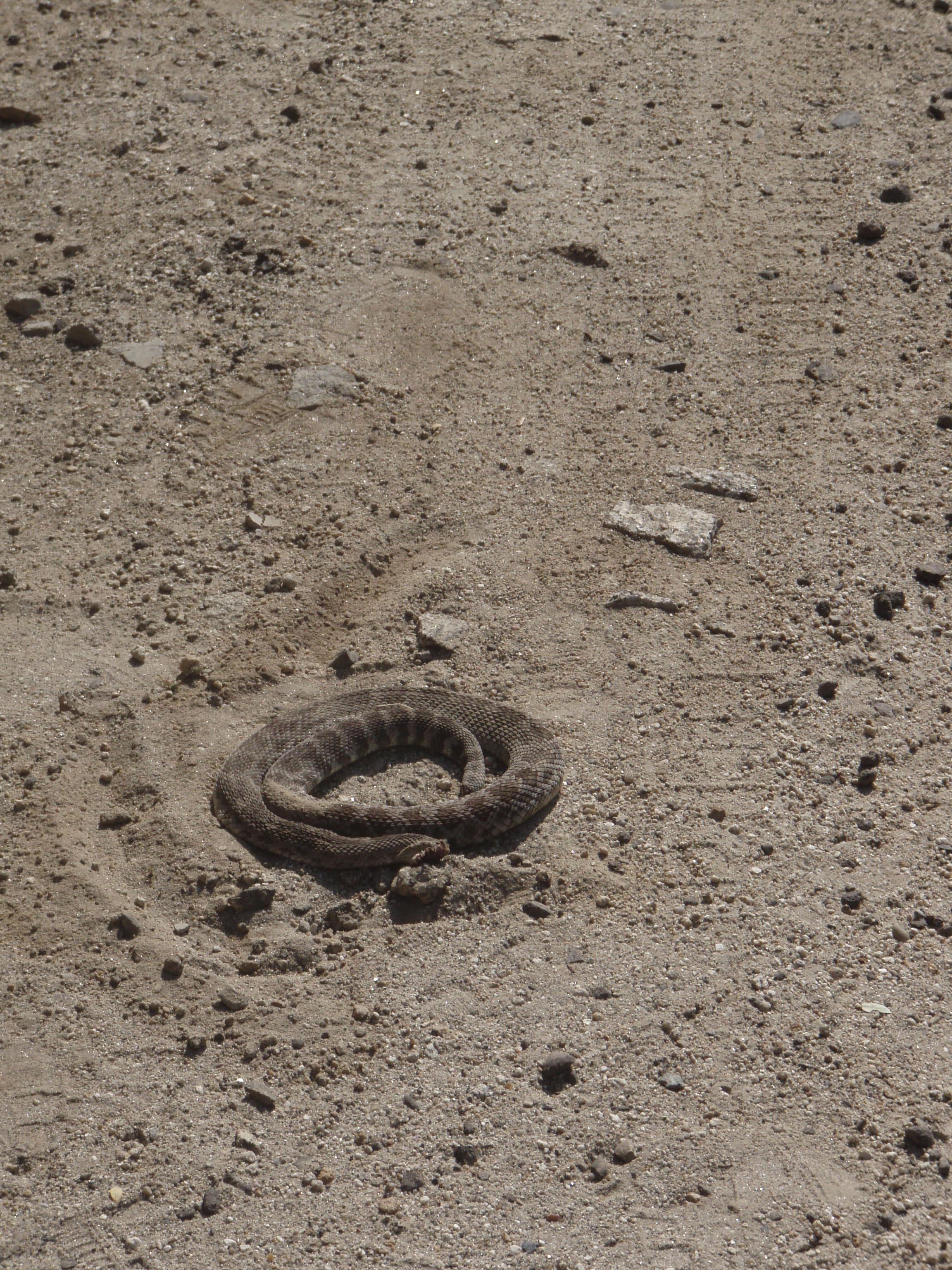
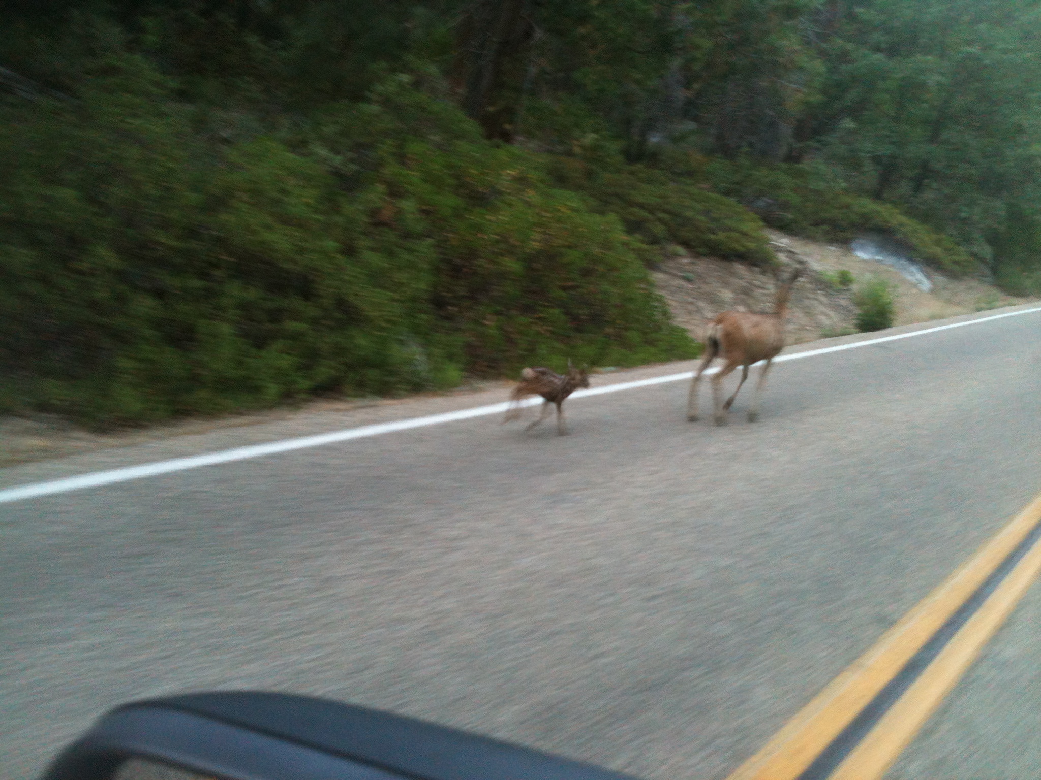
You will enter what is called “chaparral” as you pass through the “rain shadow” and start to observe more desert like vegetation… like Yucca’s, Lupine, Dogwood… and maybe a rattlesnake… or deer.
7. 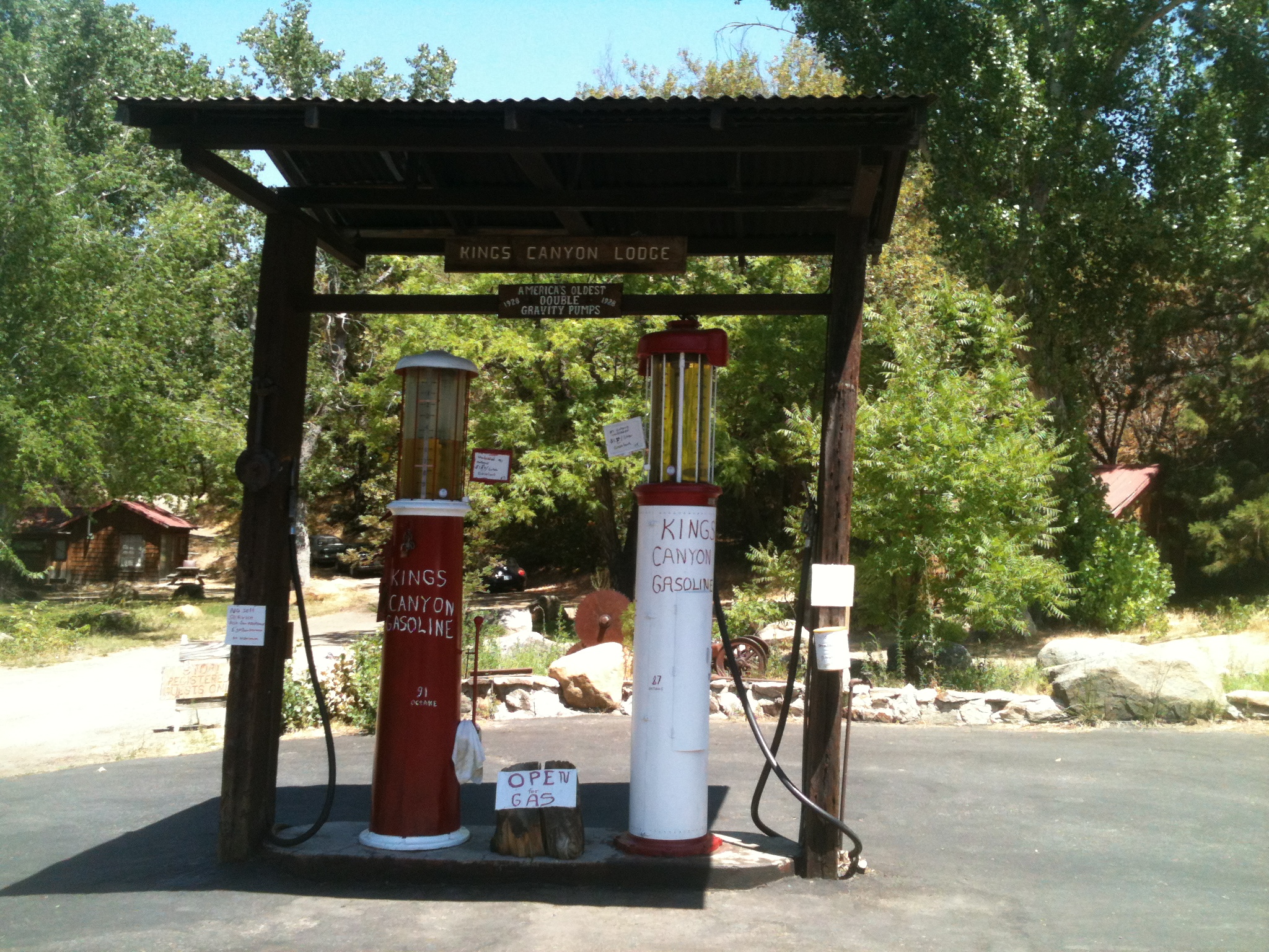 Continue on Highway 180 and it will take you past the last gas station (Kings Canyon Lodge on the right just past the bridge over Ten Mile Creek).
Regrettably the Lodge itself was destroyed in 2015 due to the “Rough Fire”. They did serve very nice ice cream there I hear, and they had some really neat old photos of the area and some nice taxidermy specimens.
8. 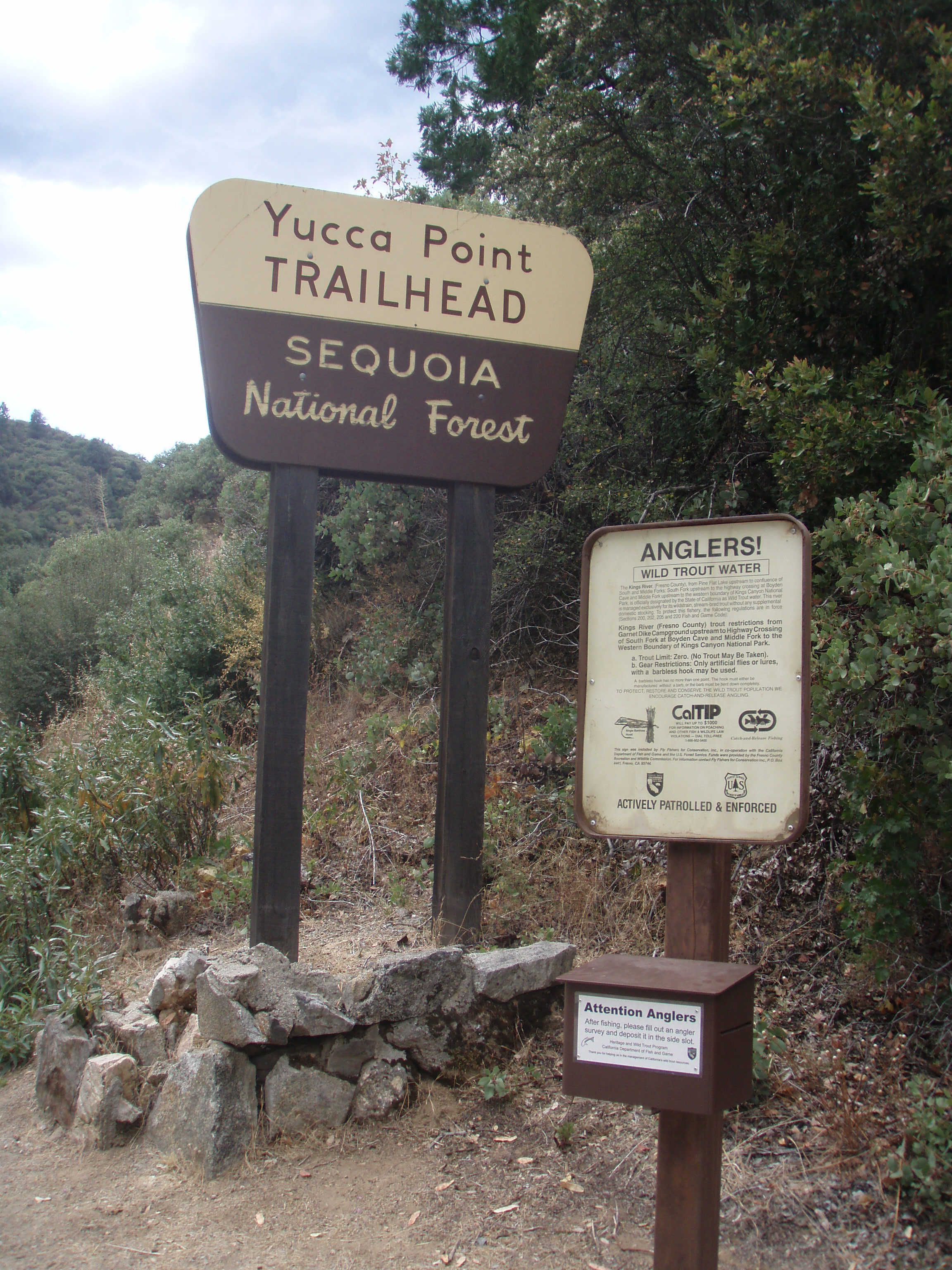 Next you will see a trail head on the left called “Yucca Point”… this leads down to the confluence of the Middle and South Forks of the Kings Rivers and is where our clean up needs to begin on Saturday morning. Some day we want to organize a group to walk down and haul out a bunch of trash and camp gear that I hear has been left at the end of this trail near the rivers.
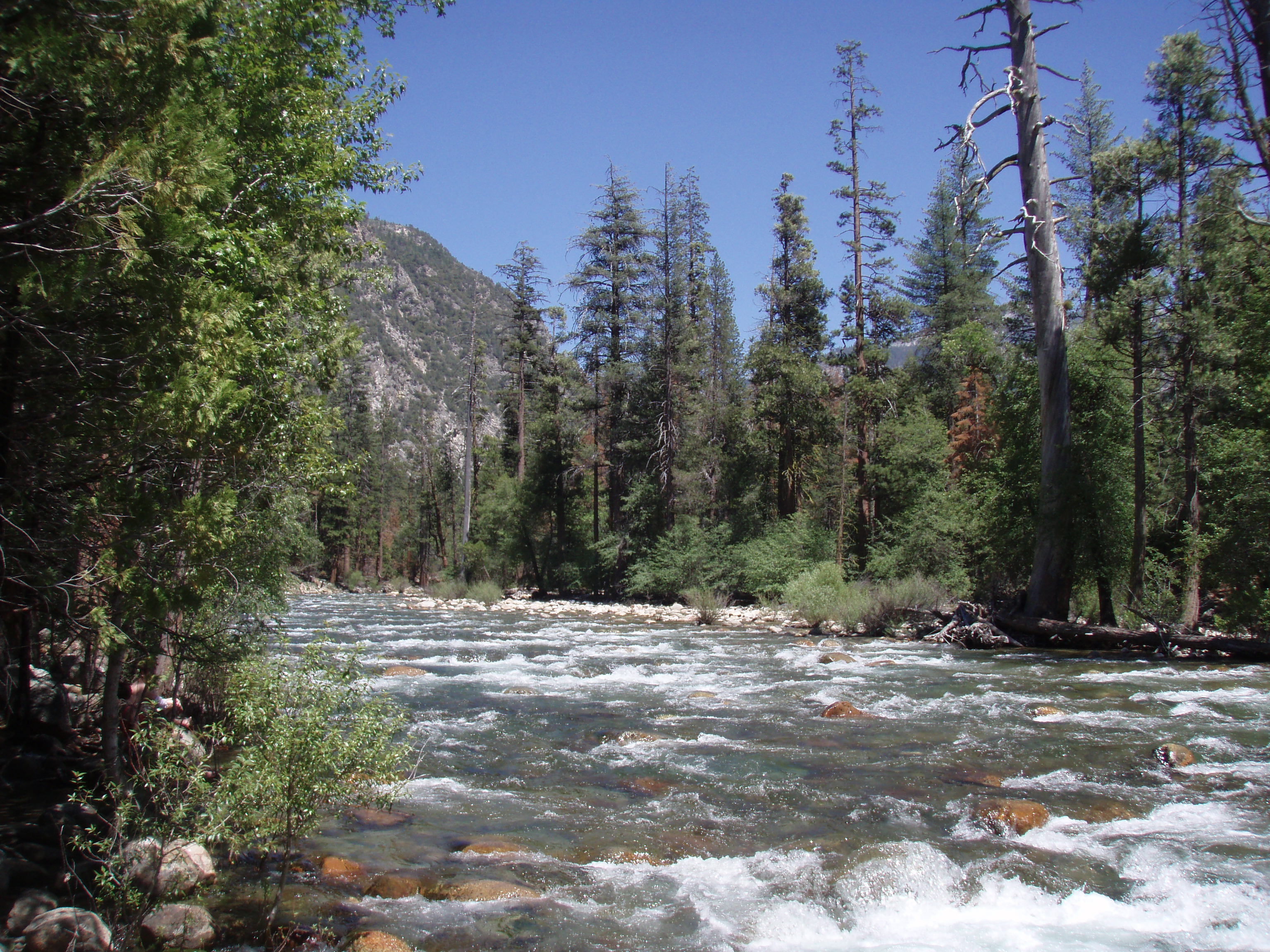
9. Continue down Highway 180 and you will pass Convict Campground (a dry campground with vault toilets), and lots of beautiful canyon views.
At the bottom you will reach the South Fork of the Kings River and Boyden Cavern… I need to check to make sure, but they have given free passes to the cavern tour to volunteers in past years.
10. 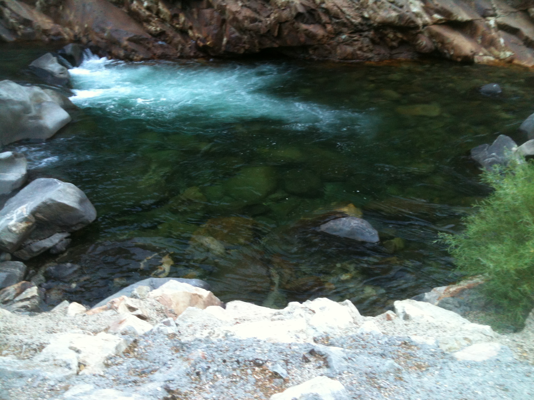 At Boyden, you will cross the South Fork Kings River for the first time and travel east on the north side of the river for about 10 miles. You will continue traveling on the north side of the river until you reach Cedar Grove, about 10 miles up the road. Passengers can take note of all of the nice looking fishing holes on the right… drivers need to pay attention to the road.
You will notice campsites along the river. The Hume Lake Ranger District of the Sequoia National Forest allows free camping along the river, but you need a fire permit even early in the season.
NOTE: No fires are allowed anywhere in Kings Canyon some years due to the extremely dry conditions.
11. At about 8 miles from Boyden, you will re-enter the Kings Canyon National Park, then stop at the Lewis Creek Trail head stop sign and again at a stop sign at the north side of the 2nd bridge over the S.F. Kings River. To reach the campgrounds, continue straight across the bridge. We plan to be camped in Sheep Creek Campground… the first of 4 campgrounds on the left.
We will post a note on the Message Board at the top of the campground telling folks where we’re camped. When you find us, you will see a “River Clean Up” bulletin board, and probably a couple of banners “Friends of the South Fork Kings River” and another banner “Creek Clean Up here this Saturday”. Stop and check in when you get to this point,
We hope that this has helped you find us.
You can call Bill at 916-601-9954 until about noon on Friday’s before the clean up Saturdays. After that he will be out of phone range as we begin the climb up Highway 180 into the Sierras. There is no cell phone coverage in the canyon, but there are pay phones and the NPS Ranger Station’s phone number is 559-565-3793.
For recent weather conditions you can visit their climate station at:
cdec.water.ca.gov
For recent stream flow stage information, you can visit this site:
denali.micro-specialties.com/cgi-bin/kingsCanyon.cgi
Have a great trip and don’t forget your camera…
We will have lots of trash bags and some litter getters… if you have your own, please bring them. Also we will need a few leaf rakes if you have any of those. I suspect that they will help us make the areas around the fire rings and tables look much better as we clean the camp sites in the campgrounds.
Thanks for volunteering….
Friends of the South Fork Kings River